DESCRIPTION: SOLD
One of the earliest obtainable town plans of Boston, Massachusetts. This antique French plan shows the area as it was 12 years before the American Revolutionary War. This fine copper-plate engraved plan from Bellin's Histoire General des Voyages shows the back bay as a true bay, before it was filled and built up in the 19th century. Includes Charles Town across the bay.
In Boston Bay the key features are an anchorage, Ronde Island, and a single dotted line denoting the navigational channel. Very sparse soundings and hydrographic details. Includes at left an index of 16 locations identified alphabetically on the map.
These 16 key locations include:
- 2 batterys, each with 25 pieces of cannon
- Two Presbyterian churches
- A Quaker church
- An Anabaptist church
- The armory
- A wharf
- The powder magazine
- A "Petit Bassin qui asseche de basse mer" (the Back Bay area)
- The fortified and defended city gate
Jacques-Nicolas Bellin (1703-1772)
Jacques-Nicolas Bellin was a prominent French hydrographer and geographer, recognized for his significant contributions to the development of cartography. For over half a century, Bellin served as the first Ingénieur de la Marine of the Depot des cartes et plans de la Marine (the French Hydrographic Office) and was appointed Official Hydrographer to the French King. His expertise and precision led to the production of thousands of significant nautical charts and maps, enhancing maritime navigation.
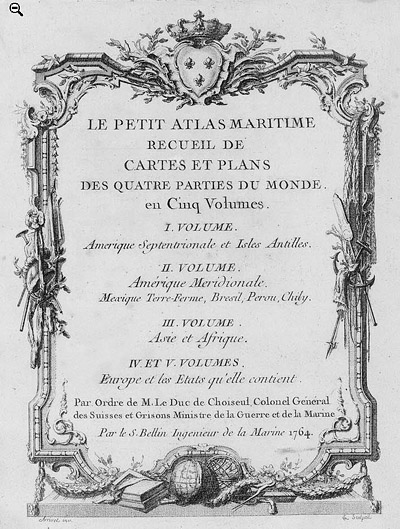 Petit Atlas Maritime Title Page, 1764 Petit Atlas Maritime Title Page, 1764
One of Bellin's most notable works, "Le Petit Atlas Maritime," was published in 1764, encompassing five volumes of detailed charts and maps covering every part of the world. Bellin's cartographic legacy extends beyond France; his comprehensive maps and atlases were highly influential in shaping European understanding of global geography during the 18th century. His passion for accuracy and vast output have ensured his place in the annals of cartographic history.
PUBLICATION DATE: 1757
GEOGRAPHIC AREA: United States
BODY OF WATER: Boston Harbor
CONDITION: Very Good.
On clean watermarked antique chain-laid paper . Evident platemark. Slight offsetting from the title but no foxing or notable issues. Good margins.
COLORING: None
ENGRAVER:
SIZE: 10
" x
6 "
ITEM PHYSICAL LOCATION: 0
PRICE: $
ADD TO CART

|