DESCRIPTION: A fine antique map Sri Lanka (Ceylon or Ceylan), an island country in South Asia, located to the southwest of the Bay of Bengal and to the southeast of the Arabian Sea. Sri Lanka is separated from the Indian subcontinent by the Gulf of Mannar and the Palk Strait. Historically, Sri Lanka's geographic location and deep harbours made it of great strategic importance from the time of the ancient Silk Road through to the modern Maritime Silk Road.
Published in a French edition of L'Abbe Prevost's "Histoire Générale des Voyages", less than twenty years before Captain Cook's famous voyage.
Jacques-Nicolas Bellin (1703-1772)
Jacques-Nicolas Bellin was a prominent French hydrographer and geographer, recognized for his significant contributions to the development of cartography. For over half a century, Bellin served as the first Ingénieur de la Marine of the Depot des cartes et plans de la Marine (the French Hydrographic Office) and was appointed Official Hydrographer to the French King. His expertise and precision led to the production of thousands of significant nautical charts and maps, enhancing maritime navigation.
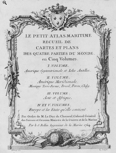
 Petit Atlas Maritime Title Page, 1764 Petit Atlas Maritime Title Page, 1764
One of Bellin's most notable works, "Le Petit Atlas Maritime," was published in 1764, encompassing five volumes of detailed charts and maps covering every part of the world. Bellin's cartographic legacy extends beyond France; his comprehensive maps and atlases were highly influential in shaping European understanding of global geography during the 18th century. His passion for accuracy and vast output have ensured his place in the annals of cartographic history.
PUBLICATION DATE: 1753
GEOGRAPHIC AREA: Sri Lanka
BODY OF WATER: N/A
CONDITION: Good.
Clean. Short margins at left and right.
COLORING: Outline and wash hand coloring.
ENGRAVER:
SIZE: 9
" x
10 "
ITEM PHYSICAL LOCATION: 6
PRICE: $350
ADD TO CART

|