DESCRIPTION: SOLD
One of the earliest available charts to focus solely on the passes at the mouth of the Mississippi River, then considered by the French to be their overseas possession. The location covered by this chart lies roughly 75 miles southeast of New Orleans, Louisiana which had only been founded in 1718 by the French Mississippi Company, under the leadership of Jean-Baptiste Le Moyne de Bienville.
This is the first and earliest of two small charts by the Depot de la Marine; the later chart appeared in Bellin's 1764 "Le Petit Atlas Maritime". This chart is characterized by numerous descriptions of the hydrography ("recif" or reef; "bancs de vase molle" or soft mudflats; and "le bare") but contains no depth soundings. The southwest pass is particularly interesting for it is labeled "Embouchure par ou les vaisseau entrant" or mouth where vessels enter. Just inside the mouth near two reefs a small ship is depicted aground ("V[aisse]au Echoué"). Further up the channel ("Chenal") is Fort de la Balise (Fr. seamark). At that spot the French constructed a 62 foot high pyramidal wooden tower (the Balise) in 1721.
This chart was undoubtedly based on observations prior to 1740 when the Balise was destroyed by a hurricance. Bellin's later 1764 chart shows no structure at that location, just a mass of debris.
Jacques-Nicolas Bellin (1703-1772)
Jacques-Nicolas Bellin was a prominent French hydrographer and geographer, recognized for his significant contributions to the development of cartography. For over half a century, Bellin served as the first Ingénieur de la Marine of the Depot des cartes et plans de la Marine (the French Hydrographic Office) and was appointed Official Hydrographer to the French King. His expertise and precision led to the production of thousands of significant nautical charts and maps, enhancing maritime navigation.
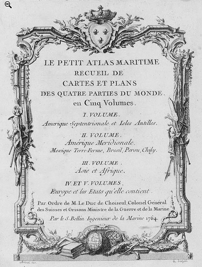 Petit Atlas Maritime Title Page, 1764 Petit Atlas Maritime Title Page, 1764
One of Bellin's most notable works, "Le Petit Atlas Maritime," was published in 1764, encompassing five volumes of detailed charts and maps covering every part of the world. Bellin's cartographic legacy extends beyond France; his comprehensive maps and atlases were highly influential in shaping European understanding of global geography during the 18th century. His passion for accuracy and vast output have ensured his place in the annals of cartographic history.
PUBLICATION DATE: 1744
GEOGRAPHIC AREA: United States
BODY OF WATER: Mississippi River
CONDITION: Good.
Some age-toning and some offsetting. Binding trim at upper left corner has been replaced with old paper outside the neatline and not impacting the image.
COLORING: None
ENGRAVER:
SIZE: 11
" x
8 "
ITEM PHYSICAL LOCATION: 3
PRICE: $
ADD TO CART

|