DESCRIPTION: Large, original, antique French sea chart of the Bay and Rock of Gibraltar from 1762. Noted features include the village and mountain of Gibraltar, Fort St. Philippe, Fort St. Roch, Pointe de Mala, Pointe de Roquadillo, the River Entrance Tower ( Tour d'Entre los Rios ), the Admiral's Tower ( Tour de le Amirante ) , Algeciras, Ance de Getare, and Cape Carnero. With numerous soundings, navigational hazards, and anchorages.
Decorative title cartouche attributes the chart to: " le S. Bellin Ingenieur de la Marine Censeur Royal & a."
Jacques-Nicolas Bellin (1703-1772)
Jacques-Nicolas Bellin was a prominent French hydrographer and geographer, recognized for his significant contributions to the development of cartography. For over half a century, Bellin served as the first Ingénieur de la Marine of the Depot des cartes et plans de la Marine (the French Hydrographic Office) and was appointed Official Hydrographer to the French King. His expertise and precision led to the production of thousands of significant nautical charts and maps, enhancing maritime navigation.
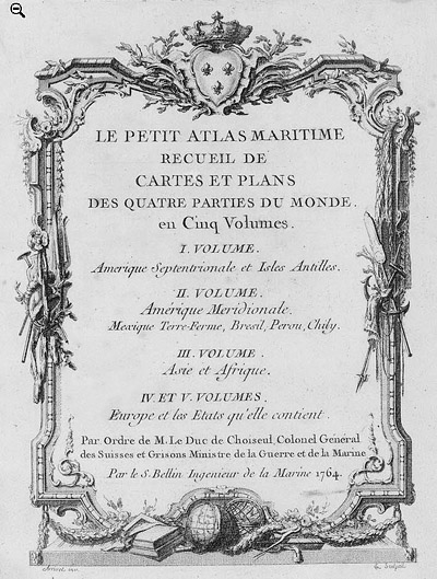
 Petit Atlas Maritime Title Page, 1764 Petit Atlas Maritime Title Page, 1764
One of Bellin's most notable works, "Le Petit Atlas Maritime," was published in 1764, encompassing five volumes of detailed charts and maps covering every part of the world. Bellin's cartographic legacy extends beyond France; his comprehensive maps and atlases were highly influential in shaping European understanding of global geography during the 18th century. His passion for accuracy and vast output have ensured his place in the annals of cartographic history.
PUBLICATION DATE: 1762
GEOGRAPHIC AREA: England
BODY OF WATER: Bay of Gibraltar
CONDITION: Good.
Strong impression on good strong paper. One small wormhole at top upper left, not noticeable. Clean and bright with no foxing.
COLORING: None
ENGRAVER:
SIZE: 22
" x
17 "
ITEM PHYSICAL LOCATION: 0
PRICE: $550
ADD TO CART

|