DESCRIPTION: Large, handsome 251 year-old working sea-chart of the Strait of Gibraltar and surrounding areas by J.N. Bellin of the French Depot de la Marine. This stunning chart from 1761 contains a large cartouche at right embellished with pikes, shields, drums, flags, and other implements of war. At left is a detailed inset plan of Gibraltar with a legend keyed to locations on the plan. Table at top contains tidal flow data. North oriented to the left .
Coverage in Spain includes Rota, Cadiz (Cadix), Cape Trafalgar, Tariffa, Algeciras, and Gibraltar. Coverage of the coast of Africa ("Barbarie") includes Arzille, Cape Spartel, Cape Malbare, Tangiers, Ceuta, and Tetouan. Numerous soundings, hazards and guard towers are noted. With stamp of Depot de la Marine "R.F." . Price: Trente sols.
Jacques-Nicolas Bellin (1703-1772)
Jacques-Nicolas Bellin was a prominent French hydrographer and geographer, recognized for his significant contributions to the development of cartography. For over half a century, Bellin served as the first Ingénieur de la Marine of the Depot des cartes et plans de la Marine (the French Hydrographic Office) and was appointed Official Hydrographer to the French King. His expertise and precision led to the production of thousands of significant nautical charts and maps, enhancing maritime navigation.
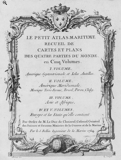 Petit Atlas Maritime Title Page, 1764 Petit Atlas Maritime Title Page, 1764
One of Bellin's most notable works, "Le Petit Atlas Maritime," was published in 1764, encompassing five volumes of detailed charts and maps covering every part of the world. Bellin's cartographic legacy extends beyond France; his comprehensive maps and atlases were highly influential in shaping European understanding of global geography during the 18th century. His passion for accuracy and vast output have ensured his place in the annals of cartographic history.
PUBLICATION DATE: 1761
GEOGRAPHIC AREA: Spain
BODY OF WATER: Strait of Gibraltar
CONDITION: Very Good
COLORING: Old wash and outline hand-color.
ENGRAVER:
SIZE: 35
" x
22 "
ITEM PHYSICAL LOCATION: 58
PRICE: $900
ADD TO CART

|