DESCRIPTION: SOLD
An extraordinary and rare panoramic view, recording the visible landscape from the summit of Great Blue Hill, one of the most prominent observation points south of Boston, Massachusetts. Drawn by the singular Edward G. Chamberlain, the heliotype-printed sheet presents a full 360 degree horizon broken into directional bands, identifying mountains, towns, rivers, railroads, and landmarks across eastern Massachusetts and beyond. This panorama and others Chamberlain produced have not been matched since.
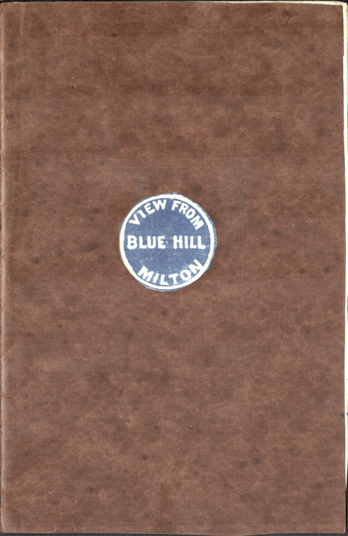 Great Blue Hill Guide Cover Great Blue Hill Guide Cover
The panorama exemplifies Chamberlain’s distinctive method of what is now often described as concentric or radial cartography. From a single observation point, the surrounding landscape is organized outward by bearing, distance, and elevation, creating a systematic visual inventory of the terrain. Peaks as far away as New Hampshire, including Mount Monadnock, Barrett and KIdder, are placed in measured relationship to nearer hills, river valleys, and coastal features. Vertical scales are intentionally exaggerated to aid identification, a candid acknowledgment of the limits of human vision and atmospheric conditions.
Compiled between 1872 and 1886 (but 1904) during Chamberlain’s long association with the Appalachian Mountain Club, this map reflects the club’s early emphasis on careful observation, measurement, and documentation of the New England landscape. Chamberlain revised and refined such panoramas over decades, treating them as cumulative records rather than fixed compositions. Examples like this were distributed among fellow club members and used for route planning, lectures, and comparative study. Surviving sheets are scarce.
Edward Gage Chamberlain
(d. 1935)
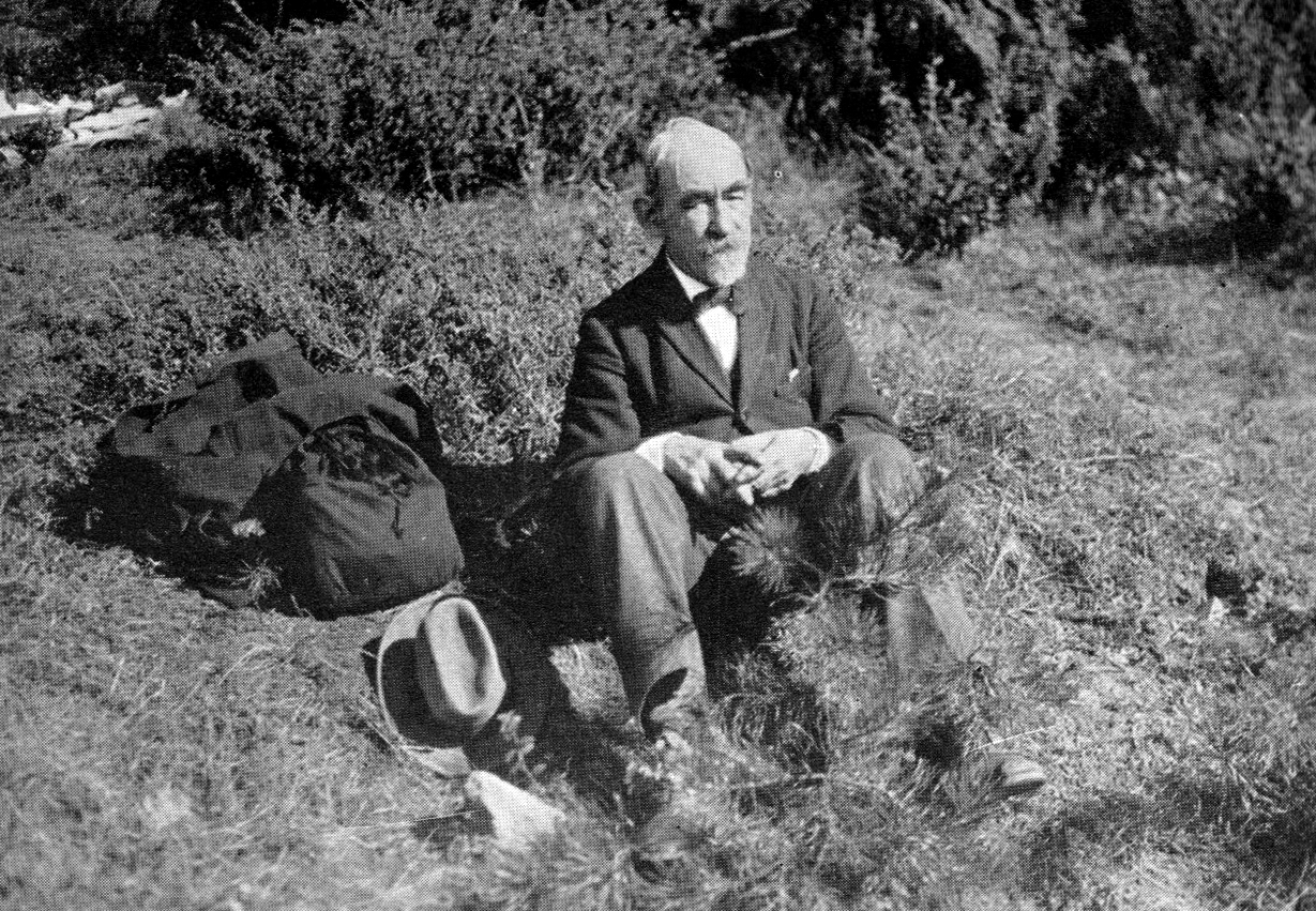 Edward Gage Chamberlain. 1926. Edward Gage Chamberlain. 1926.
E. G. Chamberlain was a largely self-trained New England surveyor and cartographer active from the late nineteenth into the early twentieth century, best known for his long association with the Appalachian Mountain Club. In 1933 Chamberlain was affectionately referred to “The Club’s Unofficial Geographer.” He applied survey discipline, angular measurement, and careful field observation to both urban and wilderness landscapes. His work included route maps, elevation studies, and a substantial body of panoramic drawings intended to record the relative position, visibility, and form of distant terrain. Unlike commercial viewmakers, Chamberlain worked primarily for use rather than display, producing maps as analytical tools grounded in first hand measurement.
Within the Appalachian Mountain Club, Chamberlain became a prolific documenter of the New England landscape. His panoramic drawings treated mountain summits as fixed observation points from which the surrounding geography could be systematically recorded. Although he published sparingly, his surviving maps and panoramas form the core of his legacy. Chamberlain left little conventional biographical record, and his reputation rests almost entirely on the precision, consistency, and cumulative depth of the cartographic work itself.
PUBLICATION DATE: 1904
GEOGRAPHIC AREA: United States
BODY OF WATER: N/A
CONDITION: Excellent.
Folds as issued. No condition issues. Map is attached to a hand-made card-stock cover.
COLORING: None
ENGRAVER:
SIZE: 12
" x
8 "
ITEM PHYSICAL LOCATION: 41
PRICE: $
ADD TO CART

|