DESCRIPTION: SOLD
Scarce original antique sea chart of Narragansett ( Narraganset ) Bay, parts of Rhode Island and Massachusetts. Geographic features include Mount Hope Bay, Bristol Bay, Providence River, and Taunton River. Named towns include Swansea and Dighton, Massachusetts; Bristol, Providence, Warren, Barrington, and East Greenwich, Rhode Island. Fall River, Mass. is not named, but in its place are shown two dwellings atop a hill by the side of the "Fals River ou Riviere des Sauts".
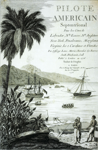
Published by George Le Rouge in Volume 1 of his rare sea-atlas "Pilote Américain Septentrional " (below) from Paris, France in 1778. Large inset plan of Newport, Rhode Island at top center with street and structures shown in great detail and with many key landmarks about Newport described by a legend.
This scarce chart is derived from J.F.W. des Barres’ 1776 chart which was based on surveys made by Charles Blaskowitz on behalf of the British Board of Trade in the early 1770s. Le Rouge's sea-atlas was intended for use by British Navy navigators at sea and few copies have survived that harsh environment.

PUBLICATION DATE: 1778
GEOGRAPHIC AREA: United States
BODY OF WATER: Narragansett Bay
CONDITION: Very good.
Clean and bright with no condition issues. A strong impression . Small printers wrinkle at bottom near centerfold.
COLORING: Attractive, careful hand coloring.
ENGRAVER:
SIZE: 27
" x
19 "
ITEM PHYSICAL LOCATION: 0
PRICE: $
ADD TO CART

|