DESCRIPTION: Beautiful lithographed pictorial map of Stanley Park, Vancouver, Canada by Peter Hugh Page, ca. 1941. Third Edition of three known editions by Peter Page. Shows Prospect Point, Brockton Point, Deadman's Island, Lost Lagoon, Second Beach, Beaver Lake and many other locations and attractions in Stanley Park.
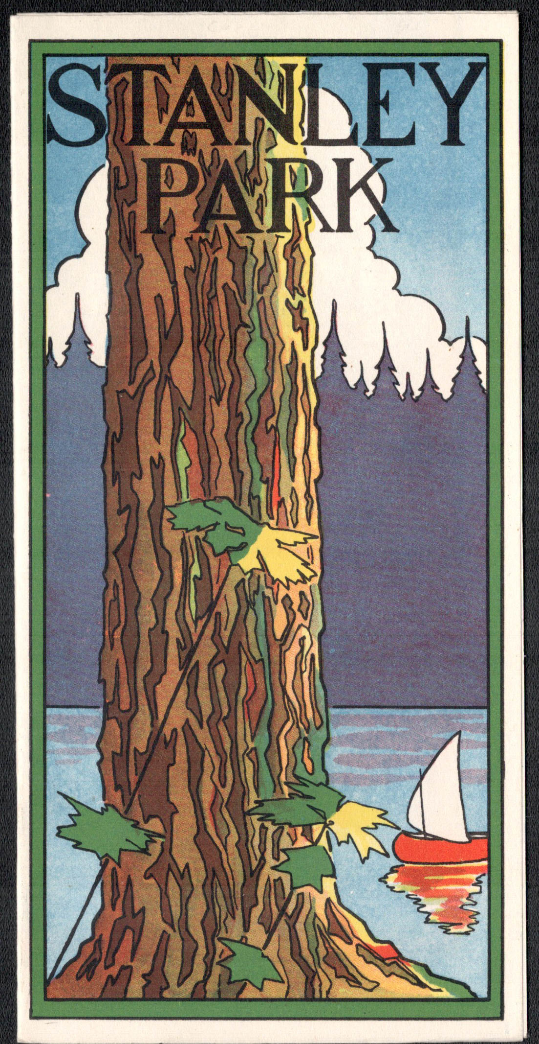 Cover from Page's map of Stanley Park Cover from Page's map of Stanley Park
The third edition of Page's map of Stanley Park differs from the first and second editions in that it includes a a label for Siwash Rock; the map shows, for the first time, the Illuminated Fountain built ca. 1936 in Lost Lagoon; and shows the Royal Vancouver Yacht Club site on Deadman's Island. Verso with text about Stanley Park.
Peter Hugh Page
Little biographical information is available online on Peter Hugh Page. Page authored several maps of Vancouver and Victoria during the end of the 1930's. Page's best known work is likely his map of Stanley Park, published in three editions, one before the construction of the Lion's Gate Bridge, the other shortly after. Page's greatest work I am aware of is the spectacular "Roadmap of British Columbia Highways" he authored in 1936 for Home Gas.
PUBLICATION DATE: 1941
GEOGRAPHIC AREA: Canada
BODY OF WATER: Burrard Inlet. First Narrows.
CONDITION: Very good.
Best possible condition! Folds as issued.
COLORING: Litho. Color.
ENGRAVER:
SIZE: 13
" x
9 "
ITEM PHYSICAL LOCATION: 0
PRICE: $350
ADD TO CART

|