DESCRIPTION: Colorful lithographed map (8" x 16") of Pinellas County, Florida in 1919 by T.W. Weston issued in a folding 4" x 9" brochure by the Pinellas County Board of Trade. In addition to the Pinellas County map, the brochure includes a fine small oblique birds-eye view - "Dunedin - a typical coast town" (Fig 1.), a small regional distance chart extending for 1500 miles from Pinellas County (Fig 2.), descriptive text, and numerous photographs.
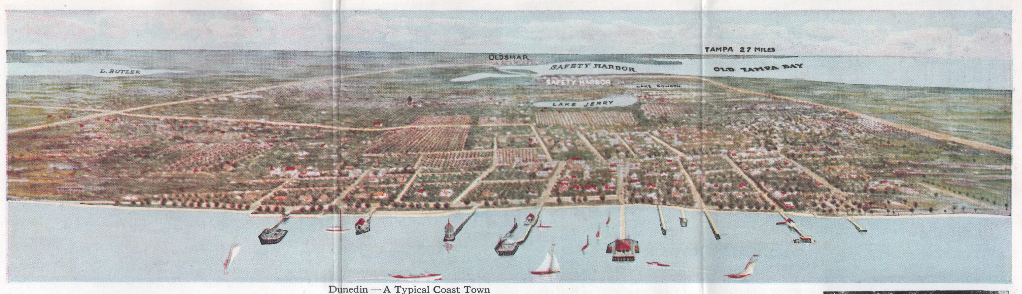 Fig. 1 - 1919 Birds-eye View of Dunedin, Florida. Fig. 1 - 1919 Birds-eye View of Dunedin, Florida.
The Pinellas County map shows soil type (coastal beach, Parkwood loam, tidal marsh …) indicated by color overlaid with routes of steam railroads, electric railways, three types of roads, canals, and drainage districts.
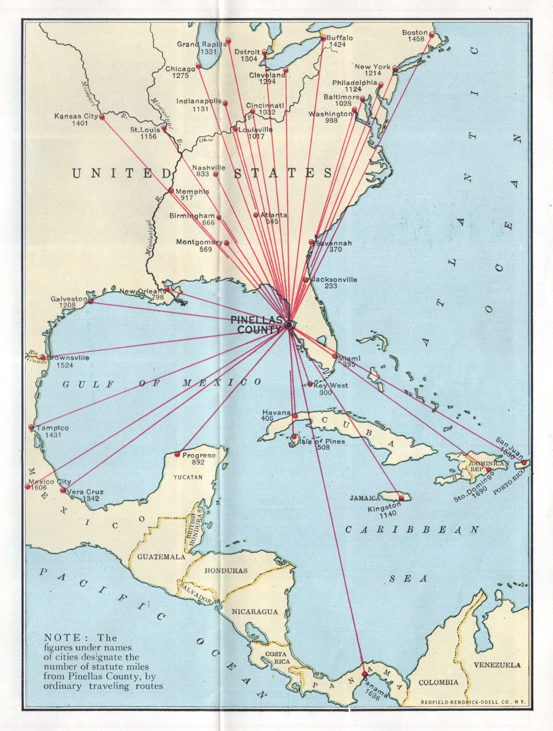 Fig. 2 - Statute mile distances from Pinellas County. Fig. 2 - Statute mile distances from Pinellas County.
Red font denotes species of fish found around Pinellas County (Fig. 3) These fish include tarpon, trout, channel bass (redfish), mackerel, and kingfish.
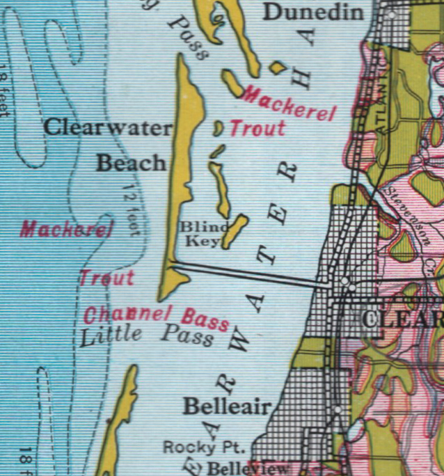 Fig. 3 - Detail of Pinellas County fish species. Fig. 3 - Detail of Pinellas County fish species.
PUBLICATION DATE: 1919
GEOGRAPHIC AREA: United States
BODY OF WATER: Gulf of Mexico
CONDITION: Good.
Light pencil notations near Mitchell's Beach. Small rust spot at staple.
COLORING: Lithographed color.
ENGRAVER:
SIZE: 8
" x
16 "
ITEM PHYSICAL LOCATION: 300
PRICE: $250
ADD TO CART

|