DESCRIPTION: Antique French nautical chart of the southern Atlantic Ocean with most of the South American continent and southwest Africa. Features the full extent of the Amazon River, likely based on the exploration by French explorer Charles Marie de La Condamine. Condamine led the first scientific exploration of the Amazon River in 1743, publishing his results with a map of the Amazon in the memoirs of the French Académie des Sciences in 1745. Large decorative title cartouche dedicates the chart to M. Rouille, Minister and Sceretary of State to the French Department de Marine.
The Falkland Islands, off the east coast of Patagonia, are described as "Isle Nouvelles". In this chart East and West Falkland Islands are conjoined and the far west coastline is not defined. This reflects the fact that the island group was not discovered until 1690 and the town of Port Louis was not settled until Louis de Bougainville established it as the first French settlement on the island in 1764.
Published by Bellin with the title of "Ingeneur de la Marine" from Paris at "Rue de Doyenne pre la Rue St. Thomas du Louvre". At that time although Bellin had a relationship with the French Depot de la Marine he also published charts privately under his own name.
Jacques-Nicolas Bellin (1703-1772)
Jacques-Nicolas Bellin was a prominent French hydrographer and geographer, recognized for his significant contributions to the development of cartography. For over half a century, Bellin served as the first Ingénieur de la Marine of the Depot des cartes et plans de la Marine (the French Hydrographic Office) and was appointed Official Hydrographer to the French King. His expertise and precision led to the production of thousands of significant nautical charts and maps, enhancing maritime navigation.
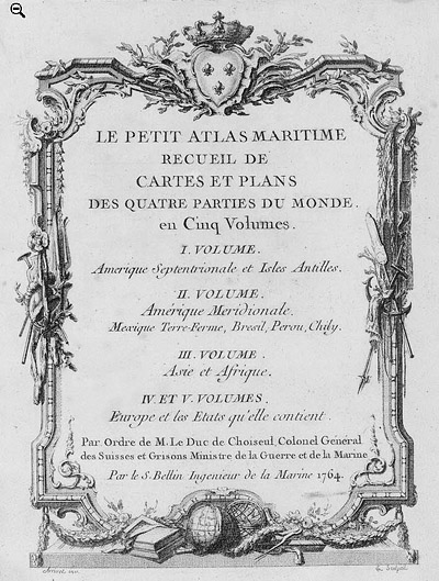
 Petit Atlas Maritime Title Page, 1764 Petit Atlas Maritime Title Page, 1764
One of Bellin's most notable works, "Le Petit Atlas Maritime," was published in 1764, encompassing five volumes of detailed charts and maps covering every part of the world. Bellin's cartographic legacy extends beyond France; his comprehensive maps and atlases were highly influential in shaping European understanding of global geography during the 18th century. His passion for accuracy and vast output have ensured his place in the annals of cartographic history.
PUBLICATION DATE: 1753
GEOGRAPHIC AREA: South America
BODY OF WATER: South Atlantic Ocean
CONDITION: Good.
On heavy wove paper. Clean with one small repaired tear in the margin. No major condition issues. Ample margins for framing.
COLORING: None
ENGRAVER:
SIZE: 34
" x
21 "
ITEM PHYSICAL LOCATION: 51
PRICE: $555
ADD TO CART

|