DESCRIPTION: SOLD
One of the earliest available port plans of Veracruz, Mexico, the harbor of Veracruz and nearby islands. Notations of numerous depth soundings, sandbanks (ex: Banc de Roches; le Banc Forain; le Grand Banc de Roches) , and an anchorage attest to the nautical heritage of this small antique French port plan. From the 15-volume "Histoire Generale des Voyages" of Antoine François Prévost published from Paris in 1754. Tome XII. Number 7.
It was on the island of San Juan de Ulúa that Spanish captain Juan de Grijalva first arrived in 1518, along with conquistador and author Bernal Díaz del Castillo ("The True History of the Conquest of New Spain"). That island was also the scene of a battle in 1569 between the Spanish Navy and a fleet led by John Hawkins that included Francis Drake. The treachery that the English perceived on the part of Spain at that battle helped to fuel antagonism between the two powers for many decades.
In Veracruz several key points are identified on a legend at bottom right including:
- La Grande Eglise
- L 'Inquisition
- Les Jesuits
- Maison de Gouverneur
- La Douane (the customs house)
- Maison de Compagnie de l'Assiente
- Les Augustins
Jacques-Nicolas Bellin (1703-1772)
Jacques-Nicolas Bellin was a prominent French hydrographer and geographer, recognized for his significant contributions to the development of cartography. For over half a century, Bellin served as the first Ingénieur de la Marine of the Depot des cartes et plans de la Marine (the French Hydrographic Office) and was appointed Official Hydrographer to the French King. His expertise and precision led to the production of thousands of significant nautical charts and maps, enhancing maritime navigation.
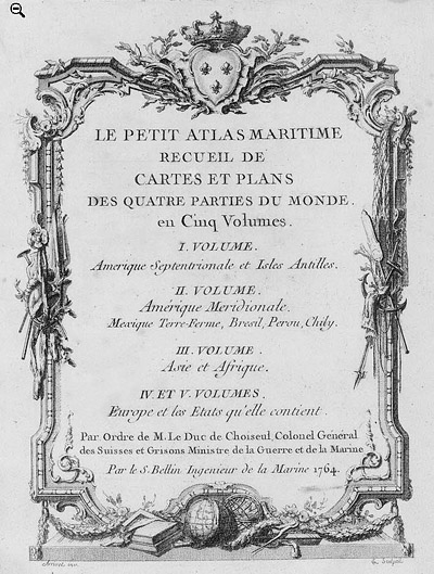 Petit Atlas Maritime Title Page, 1764 Petit Atlas Maritime Title Page, 1764
One of Bellin's most notable works, "Le Petit Atlas Maritime," was published in 1764, encompassing five volumes of detailed charts and maps covering every part of the world. Bellin's cartographic legacy extends beyond France; his comprehensive maps and atlases were highly influential in shaping European understanding of global geography during the 18th century. His passion for accuracy and vast output have ensured his place in the annals of cartographic history.
PUBLICATION DATE: 1754
GEOGRAPHIC AREA: Mexico
BODY OF WATER: Bay of Veracruz
CONDITION: Very good.
On chain laid paper with minor age toning. Two vertical folds as issued.
COLORING: Original wash hand-coloring.
ENGRAVER:
SIZE: 6
" x
9 "
ITEM PHYSICAL LOCATION: 0
PRICE: $
ADD TO CART

|