DESCRIPTION: Bellin's fine map from 1747 focusing on the Red River and the Mississippi River. Full of interesting notes (in French) about the rivers, habitations, and native American tribes. Includes an inset of the area surrounding Fort St. Jean [Baptiste] a military post on the Red River in Natchitoches, Louisiana (founded by French Canadians in 1716). Shows the channel upstream of the fort was partially dammed by a tangle of uprooted trees.
Coverage extends southward along the Mississippi River almost as far as Baton Rouge.
French hydrographer Jacques Nicolas Bellin (1703-1772) was born in Paris and educated as an engineer. In 1741, Bellin became the first Ingénieur de la Marine of the Depot des cartes et plans de la Marine (the French Hydrographical Office) and was named Official Hydrographer of the French King. Bellin's largest and most comprehensive work is the Petit Atlas Maritime that covered the coasts and important port cities of the known world.
Jacques-Nicolas Bellin (1703-1772)
Jacques-Nicolas Bellin was a prominent French hydrographer and geographer, recognized for his significant contributions to the development of cartography. For over half a century, Bellin served as the first Ingénieur de la Marine of the Depot des cartes et plans de la Marine (the French Hydrographic Office) and was appointed Official Hydrographer to the French King. His expertise and precision led to the production of thousands of significant nautical charts and maps, enhancing maritime navigation.
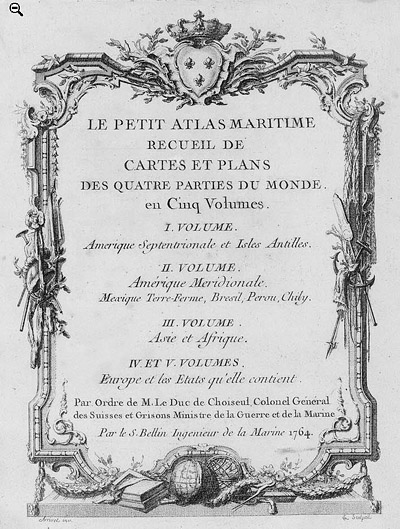 Petit Atlas Maritime Title Page, 1764 Petit Atlas Maritime Title Page, 1764
One of Bellin's most notable works, "Le Petit Atlas Maritime," was published in 1764, encompassing five volumes of detailed charts and maps covering every part of the world. Bellin's cartographic legacy extends beyond France; his comprehensive maps and atlases were highly influential in shaping European understanding of global geography during the 18th century. His passion for accuracy and vast output have ensured his place in the annals of cartographic history.
PUBLICATION DATE: 1747
GEOGRAPHIC AREA: United States
BODY OF WATER: Mississippi River
CONDITION: Very Good.
On heavy laid paper. Very wide margins. Nice.
COLORING: None
ENGRAVER:
SIZE: 13
" x
8 "
ITEM PHYSICAL LOCATION: 10
PRICE: $800
ADD TO CART

|