DESCRIPTION: An important group of five original manuscript historical reconstruction maps prepared by the Boston civil engineering firm of Fuller & Whitney, reconstructing Boston’s Back Bay in 1814, 1836, 1851, 1861, and 1871. The manuscripts, drawn circa 1881, correspond to five maps published as blueprints in Fuller & Whitney's 1881 A Set of Plans Showing the Back Bay 1814-1881.
For example, comparison of the 1814 manuscript with the published blueprint shows closely corresponding shorelines, waterways, roads, boundaries, place names, and topographical details, strongly suggesting that these were original compilation or master drawings prepared for the blueprint series.
The maps were prepared retrospectively from earlier maps, surveys, property records, and other sources. The 1814 manuscript and the others, dated August 1881, includes an "Authorities" section identifying sources used in its preparation.
Together, the manuscripts record the transformation of the Back Bay. The 1814 map depicts the original tidal landscape of marshes, creeks, islands, and flats. The 1836 map shows changes following construction of the Mill Dam and associated causeways and waterways. The 1851 map records conditions immediately before large-scale reclamation.
By 1861, filling operations were advancing westward, with newly created land, streets, and building lots replacing the tidal basin. The 1871 manuscript shows the recognizable Back Bay emerging, with filling substantially advanced, the street grid established, and residential development underway.
The manuscripts are also significant in relation to Fuller & Whitney's use of blueprint reproduction. William H. Whitney was an early practitioner of the process in Boston.
Fuller and Whitney
Back Bay Engineers (1872- 1888)
From 1872 to 1888, Fuller & Whitney Civil Engineers thrived as a partnership between J. Franklin Fuller and William H. Whitney. In 1888, Whitney assumed sole proprietorship, boldly renaming the firm "William H. Whitney" to reflect his visionary leadership.
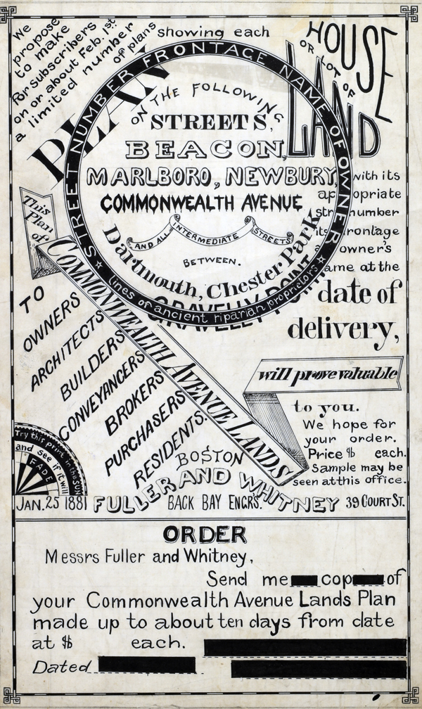 1881 MS Trace Fuller and Whitney Ad and Order Form 1881 MS Trace Fuller and Whitney Ad and Order Form
(not included)
In his autobiography Whitney refers to his work with the latest cutting-edge reprographic technology- blueprinting: “In September 1881 I received a bronze medal at the Massachusetts Charitable Mechanic Association Exhibit for sun or blue prints. I developed a process from the French and used it in illustrating the growth of Back Bay lands. I issued to subscribers monthly schedules and maps showing the changes of ownership, increase in value, improvement by filling and public works.” (The New England Historical and Genealogical Register. Vol 64, January 1910. Number 253. p. lix)
PUBLICATION DATE: 1881
GEOGRAPHIC AREA: United States
BODY OF WATER: Boston Back Bay
CONDITION: Fair.
Show sign of use. Grubby.
COLORING:
ENGRAVER:
SIZE:
" x
"
ITEM PHYSICAL LOCATION:
PRICE: $4500
ADD TO CART

|