DESCRIPTION: Singular rare manuscript pen and ink trace map and matching reverse blueprint studies for proposed routes of the new Harvard Bridge across the Charles River Basin. Rare to find a blueprint together with the master MS trace from which the blueprint was created. Notes at lower right explaining length metrics for the two competing locations.
Compiled by Fuller and Whitney, C.E. Feb 17, 1885. 39 Court Street, Boston
Fuller and Whitney
Back Bay Engineers (1872- 1888)
From 1872 to 1888, Fuller & Whitney Civil Engineers thrived as a partnership between J. Franklin Fuller and William H. Whitney. In 1888, Whitney assumed sole proprietorship, boldly renaming the firm "William H. Whitney" to reflect his visionary leadership.
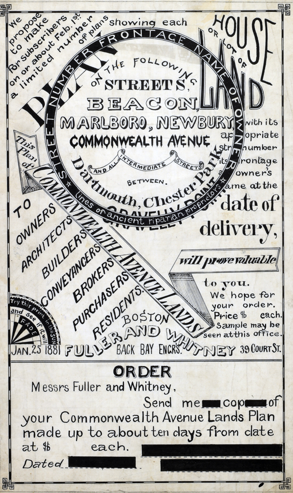 1881 MS Trace Fuller and Whitney Ad and Order Form 1881 MS Trace Fuller and Whitney Ad and Order Form
(not included)
In his autobiography Whitney refers to his work with the latest cutting-edge reprographic technology- blueprinting: “In September 1881 I received a bronze medal at the Massachusetts Charitable Mechanic Association Exhibit for sun or blue prints. I developed a process from the French and used it in illustrating the growth of Back Bay lands. I issued to subscribers monthly schedules and maps showing the changes of ownership, increase in value, improvement by filling and public works.” (The New England Historical and Genealogical Register. Vol 64, January 1910. Number 253. p. lix)
PUBLICATION DATE: 1885
GEOGRAPHIC AREA: United States
BODY OF WATER: Charles River Basin
CONDITION: Very good.
No issues.
COLORING: N/A
ENGRAVER:
SIZE: 18
" x
12 "
ITEM PHYSICAL LOCATION: 86
PRICE: $1500
ADD TO CART

|